
Pasco County ZIP Coverage
The county's live address inventory verifies 30 five-digit ZIP values on active Pasco address points. “Post office label” below means the mailing-city name stored in county data, not proof of a retail postal station. The table groups nearby codes for readability while preserving every verified value.
| ZIP | Pasco areas represented | Mailing label | Local caution |
|---|---|---|---|
| 33523, 33525 | Dade City and surroundings | Dade City | Postal area exceeds city limits |
| 33540-33542 | Zephyrhills and east Pasco | Zephyrhills | Municipal and county areas mix |
| 33543 | Wesley Chapel and Zephyrhills | Two labels | One ZIP has both names |
| 33544, 33545 | Wesley Chapel | Wesley Chapel | Unincorporated community |
| 33548, 33549, 33558, 33559 | Southwest edge and Wesley Chapel fringe | Lutz | Label also used in Hillsborough |
| 33556 | Southwest Pasco | Odessa | Cross-county postal geography |
| 33576 | San Antonio and surroundings | San Antonio | City occupies part of postal area |
| 33597, 33849 | Far northeast and southeast edges | Webster, Kathleen | Place identities center elsewhere |
| 34604, 34610 | North edge | Brooksville; Spring Hill also in 34610 | Hernando-oriented labels |
| 34637-34639 | Central Pasco | Land O' Lakes | Unincorporated |
| 34652-34655 | New Port Richey, Trinity, Seven Springs | New Port Richey | Much lies outside the city |
| 34667, 34669 | Hudson and inland northwest | Hudson | Unincorporated |
| 34668 | Port Richey area | Port Richey | City is smaller than postal area |
| 34690, 34691 | Holiday and southwest coast | Holiday | Unincorporated |
The inventory does not establish PO-box-only codes, unique institutional codes, station addresses, or historic split dates. Those claims require direct USPS proof. The Pasco County ZIP code directory therefore presents verified physical-address values rather than pretending to be an exhaustive postal product list.
Pasco ZIP Labels Cross Borders
Two county-data examples show why a ZIP is not a city. Code 33543 carries both Wesley Chapel and Zephyrhills mailing labels. Code 34610 carries Brooksville and Spring Hill labels on Pasco address points. Lutz and Odessa reach the Hillsborough edge, while Webster, Kathleen, and Brooksville labels appear in Pasco even though those place identities center outside the county.
This geographic quirk affects record custody. A mailing line reading New Port Richey, Dade City, or Zephyrhills can sit beyond the like-named municipality. Check the parcel's Jurisdiction field before choosing a permit office or municipal clerk. Keep situs address, mailing city, ZIP, and jurisdiction in separate notes.
Find Pasco Residents by ZIP
PascoGateway Building and Enforcement searches expose a ZIP field, so a code can narrow public permit or code records. Results still depend on the responsible jurisdiction and the date a record was created. The Property Appraiser front page does not offer direct ZIP searching. It accepts street number and name, then shows the ZIP on the returned physical address. Do not promise a one-click assessor search by ZIP.
- Confirm the full delivery address with the official USPS lookup.
- Use Pasco Mapper or county address data to confirm ZIP, mailing city, and jurisdiction.
- Search PascoGateway by ZIP for county building or enforcement records, adding a street or date when results are broad.
- Open relevant parcels in the Property Appraiser by address or parcel number.
- Once one street is known, continue with the Pasco County street directory workflow.
A ZIP-wide result is a geographic lead, not proof that a named person occupies an address. Confirm identity with a second official source and keep the search lawful.
Pasco ZIP Search Fields
The county's anonymous Building search provides several ways to shrink a broad ZIP query. Older paper-submitted applications may instead remain under the Permits tab. Enforcement has a similar address and ZIP route. Incorporated places may keep their own permit records, so parcel jurisdiction comes first.
| PascoGateway field | Input | How it refines a ZIP search |
|---|---|---|
| ZIP | Five-digit text | Sets the broad postal area |
| Street No. from/to | Number range | Limits a segment |
| Street Name | Name without street type | Targets one road |
| City and State | Text or selection | Adds mailing geography |
| Parcel No. | Parcel identifier | Targets one property |
| Record Type and dates | Dropdown and date range | Limits the record class and period |
View the PascoGateway permit search with its ZIP field.
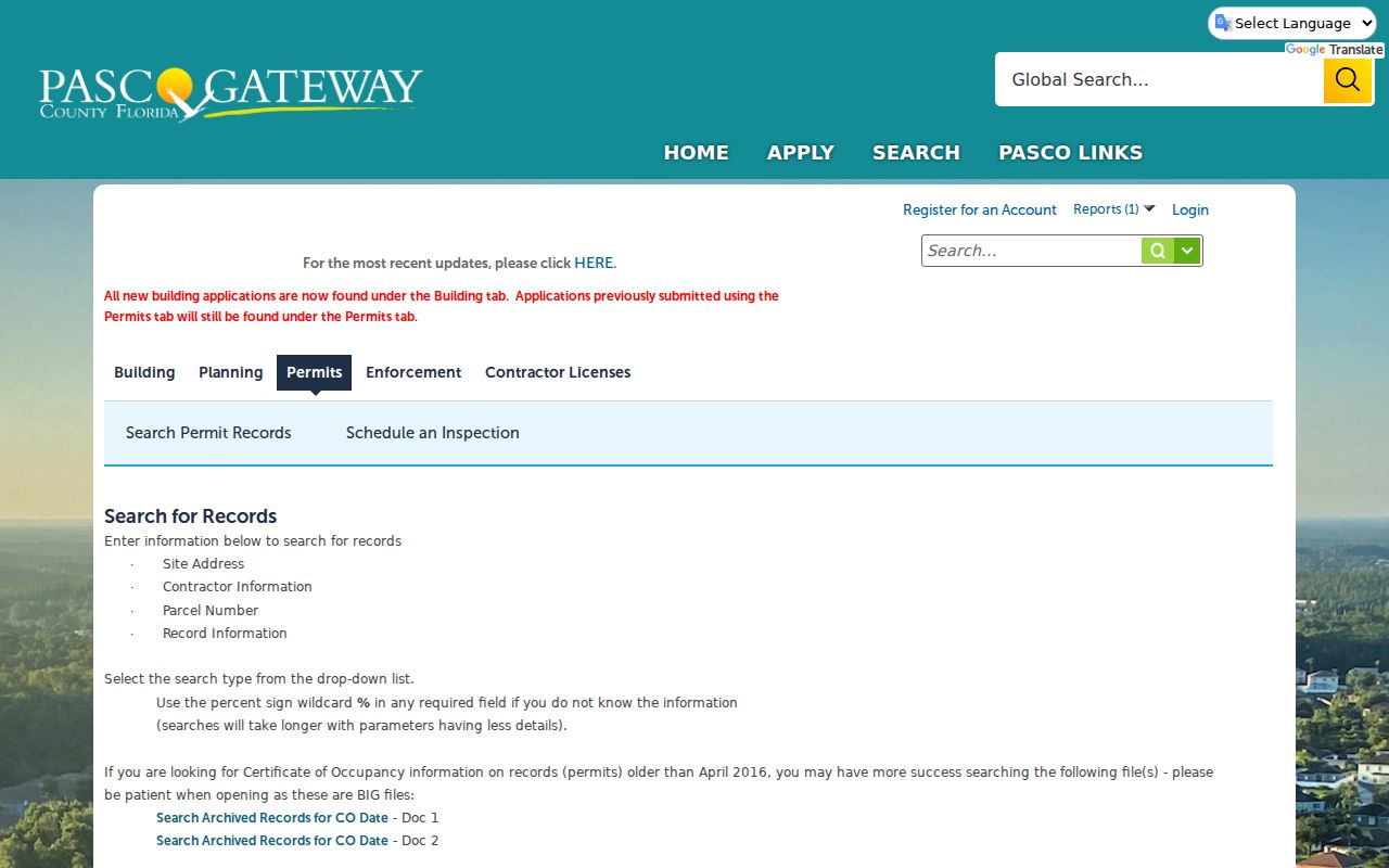
The pictured form proves that ZIP is a supported filter. It does not prove that every municipal permit is in the county system.
Verify Pasco County ZIP Codes
Use USPS for address-level delivery verification. County GIS is better for jurisdiction and parcel context, but postal assignments remain a USPS function. Enter the complete street address rather than choosing a code from a city list. That is essential near county edges and in areas with more than one mailing-city label.
Check an address with USPS ZIP Code Lookup.
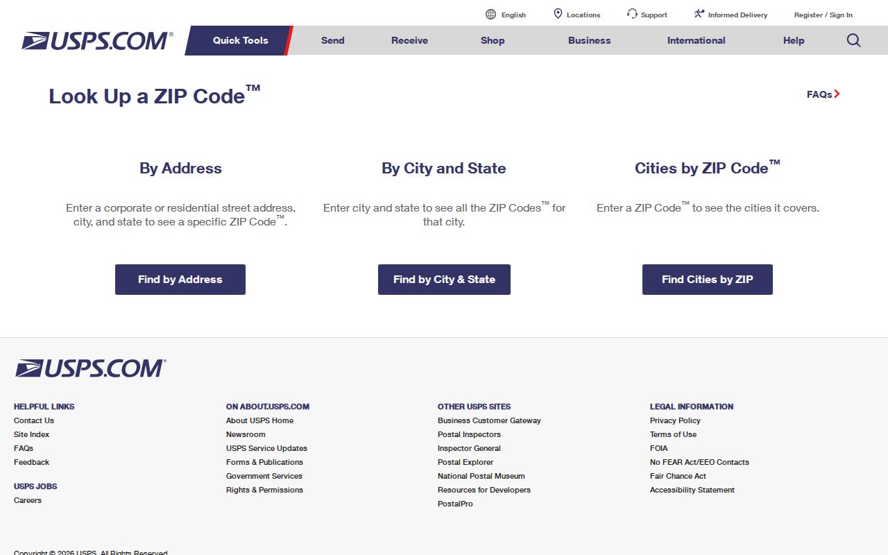
The USPS result establishes delivery format. Pair it with the county parcel card to identify local jurisdiction and the correct public-record custodian.
- ZIP code
- A five-digit USPS delivery area, not a municipal boundary.
- ZIP+4
- The basic code plus four digits that narrow a delivery segment.
- PO-box ZIP
- A code assigned to post-office-box delivery; none was verified here as a Pasco-only claim.
- Unique ZIP
- A code assigned to one high-volume organization; no Pasco example was established.
- Carrier route
- A postal delivery path that can cross neighborhood or government lines.
Pasco Addressing Office Records
Pasco County GIS maintains the Addressing page for unincorporated address assignment and street-name questions. It links to Pasco Mapper, the current Street Names in Use list, development standards, a street-name request form, and approved suffixes. Questions may be sent to addressing@mypasco.net. Incorporated municipalities may control their own addressing actions.
Review Pasco County Addressing resources. The county address layer stores FULL_ADDRESS, MAILING_CITY, JURISDICTION, and ZIP_CODE5 separately. That schema is the clearest reason to preserve all four values in a ZIP code directory search.
The parcel key is also separate. It uses section, township, range, subdivision, block, and lot fields. It is neither a postal code nor always the complete legal description. A ZIP gets the search into an area; a parcel number identifies land much more precisely.
Pasco ZIP Growth Context
Census QuickFacts estimated 674,516 Pasco County residents in 2025, 20.0 percent above the 2020 estimate base. Growth increases same-name collisions and creates new address points, especially along the I-75 and State Road 54/56 corridor. A ZIP alone becomes less useful as a person identifier when thousands of households share it.
See official Census context for Pasco County.
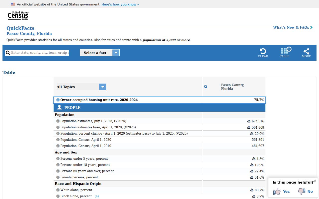
The county-level figure explains search scale but does not provide resident names or counts for each ZIP. Do not turn it into an unsupported per-code estimate.
Pasco ZIP and Voter Geography
The Supervisor of Elections publishes countywide voter-registration statistics, but the individual self-service voter lookup is designed to confirm one's own status with identity fields and a CAPTCHA. It is not a public ZIP-wide resident list. Public voter-file access follows Florida law and excludes protected-program participants and sensitive identifiers.
Review Pasco voter registration statistics.
Use published totals only for election geography and scale. They do not establish who lives at one address or that a mailing ZIP matches a precinct.
Note: Protected addresses are intentionally absent from public disclosure and should never be reconstructed from other records.
Pasco ZIP Directory Limits
A Pasco County ZIP code directory narrows geography. It cannot identify every occupant, prove residence, define a city boundary, or replace a parcel's jurisdiction field. Apartment buildings may share a parcel and ZIP while containing many private households. Mailing labels can also lag local identity or span county lines.
Commercial neighbor tools may merge stale sources and imply more certainty than the underlying records support. Prefer USPS delivery verification, county GIS, and the relevant official custodian. Use results for lawful personal research, never to stalk, harass, or harm another person.
Can one ZIP identify a record keeper? No. Verify the parcel jurisdiction. The same postal label can cover incorporated and unincorporated addresses, which route permits and local administrative files to different offices.