
Sources for Pasco County Neighbors
The immediate block has several public layers, but none is a household census. Pasco Mapper identifies the parcels and address points around a target. Property Appraiser cards add assessed ownership, mailing and situs addresses, jurisdiction, and property facts. PascoGateway can add public permit or enforcement history. The county civic-association workbook identifies organizations and public contacts, not residents. Use each source only for its stated purpose.
| Source | What It Shows About a Block | Access |
|---|---|---|
| Pasco Mapper | Touching parcels, address points, ZIP, jurisdiction and street sequence | Free interactive map |
| Property Appraiser cards | Assessed owner, mailing and situs addresses, parcel facts | Free current roll |
| PascoGateway | Public permit and enforcement history keyed to an address | Anonymous search; city records may be separate |
| Civic Association Listing | Organization, place, title, phone, district and public contact fields | Free county workbook; no members |
| Requested voter file | Permitted registration and precinct data after exclusions | Supervisor process; not the individual lookup |
An owner's mailing address can match the parcel's situs address, and a homestead line can support an owner-occupancy inference. Neither proves every person living there. A different mailing address may belong to an agent, business, post office box, or another home. Record the distinction instead of turning an ownership result into a claim about all Pasco County neighbors.
Select Pasco Neighbor Parcels
Search the target address in Pasco Mapper and zoom until each parcel shape is clear. Click the target, note its parcel number and physical address, then click every parcel that touches it. If a popup shows too little, use Select Features over the short block and open the Table. Copy the parcel IDs into the Property Appraiser search for the full ownership cards.
Measurement or Draw can mark a useful street segment, but a user-drawn radius is not a legal neighborhood boundary. The county's address layer keeps FULL_ADDRESS, ZIP_CODE5, JURISDICTION, and MAILING_CITY as separate fields. Nearby points can share a postal city while falling under different governments. This is common near incorporated boundaries in New Port Richey, Dade City, Zephyrhills, and the county's large unincorporated areas.
The county's GIS applications page shows the official mapping services.

The GIS catalog is the reliable starting point when a saved map link changes or a layer must be confirmed.
Read Pasco Parcel Addresses
A parcel and an address point are different map objects. One apartment complex may place many unit or subaddress points on a single ownership parcel. A large tract can also carry several physical addresses. The property roll will still identify the assessed parcel owner, not a list of residents in each unit.
- Parcel
- A mapped tax unit with its own identification number and assessment card.
- Situs address
- The physical location assigned to the parcel.
- Mailing address
- The destination used for owner tax mail, which may be elsewhere.
- Jurisdiction
- The city or county government responsible for a service or permit record.
Compare these fields before describing anyone as a nearby resident. For a condo, cooperative, or apartment property, the legal structure may change how ownership is split. The map is a route to the correct card, not proof of who sleeps at each address.
Map a Pasco County Block
Move in a short, repeatable chain from geography to record evidence. This keeps the neighbor lookup focused on the immediate block instead of drifting into every lot on a long named road.
- Locate the known address in Pasco Mapper. Check the address point and target parcel before selecting anything else.
- Click each touching parcel or select the short block. Save each parcel ID, situs address, ZIP, and jurisdiction.
- Open each Property Appraiser card. Read assessed ownership, mailing address, legal description, and homestead information without claiming a full household.
- Check PascoGateway by address or parcel for public permit and enforcement context. Use the city permit office when jurisdiction calls for it.
If the question expands from adjacent lots to every parcel along the road, use the Pasco County street directory workflow. It carries the full named-street chain into deeds and other address records.
Pasco Community Directory Contacts
The Property Appraiser publishes a countywide Civic Association Listing. Its workbook mixes homeowners associations, condominium groups, mobile-home cooperatives, commercial owners' associations, and voluntary civic groups. Fields include organization, city, ZIP, title, phone, district, and contact/address columns. It is a public organization-contact resource, not a private member roster.
West Pasco
Beacon Square, Beacon Woods, and Colonial Hills entries can identify a civic group or management contact in Holiday, Hudson, and New Port Richey postal areas.
Central Pasco
Ballantrae, Bridgewater, Cooper's Hawk, and Dupree Lakes entries help identify planned-community organizations around Land O' Lakes and Wesley Chapel.
East Pasco
Arbor Oaks, Betmar, Crystal Springs, Copeland Estates, Country Aire, and Country Hills entries cover contacts tied to Zephyrhills and Dade City areas.
Verify that the group remains active and that its contact has not changed. Some management offices are outside Pasco County. Listing a subdivision does not prove that a specific person belongs to the organization.
Pasco Neighbor Organization Clues
Business-member directories can add public community context without pretending to list households. The Greater Pasco Chamber and East Pasco Chamber publish organization searches. Use them to connect a business name with a current public affiliation or contact. They do not establish that a listed person lives next door.
The Greater Pasco public member directory is one verified community resource.
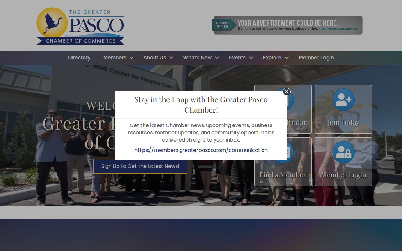
The directory belongs in the community layer, where public business identity and local activity are kept separate from home occupancy.
The East Pasco Chamber member search provides a comparable public organization route for the county's eastern communities.
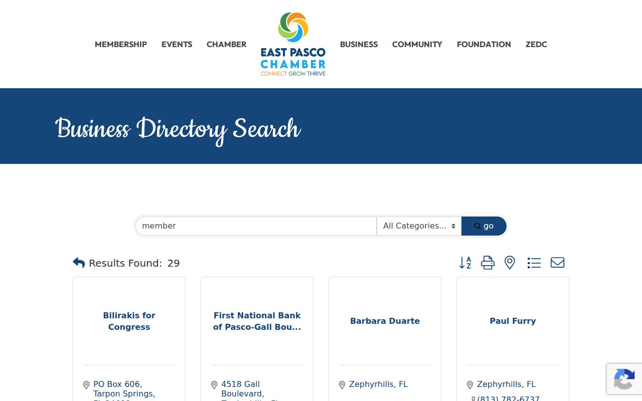
Use that listing to verify a public business affiliation, not to infer a private household or neighbor relationship.
Check Pasco Neighbor Block Activity
PascoGateway's Building, older Permits, and Enforcement searches can add a public activity trail to nearby parcels. Search each address or parcel number, then broaden by street or ZIP only when needed. General date fields refer to record creation dates. Public contacts may appear on a case, but sensitive attachments can be withheld.
Jurisdiction comes first. Pasco County manages records for its scope, while incorporated cities can issue their own permits. A New Port Richey mailing label does not prove that the parcel lies inside the city. Use the Property Appraiser card or county address layer to choose the correct office. Permit history describes work on the site, not every neighbor who occupied it.
Voter Data Is Not Neighbors
The Pasco voter-status form is meant for a voter to check their own record. It requires identity fields, an agreement, and a CAPTCHA. It must not be used as a block-enumeration tool. A lawful public voter-file request goes through the Supervisor of Elections and may provide selected address, precinct, registration, or participation fields after protected data is removed.
Voting history says only whether an elector participated, never which candidate or choice received the vote. Address Confidentiality Program participants and people covered by statutory exemptions require special handling. Ask the Supervisor for the current data dictionary, format, scope, redaction rules, and fee estimate rather than assuming that a street-sorted list exists.
Compare Pasco Neighbor Tools
Official records and commercial neighbor tools answer different questions. The official source is narrower but gives a clear custodian and record purpose. Commercial compilations blend property, phone, voter, and marketing data, which may be stale or assigned to the wrong person.
| Source type | Strength | Limit |
|---|---|---|
| County map and roll | Current parcel geometry and assessed owner | Not a renter or household roster |
| Permit and civic records | Public site activity and organization contacts | Not proof of residence or membership |
| Commercial compilation | May combine several broad clues | Unknown refresh dates and weak source context |
When two sources conflict, return to the county custodian. A public map card can be corrected or explained by the office that maintains it; an opaque compilation cannot replace that source.
Protect Pasco County Neighbors
Utility customers, delivery records, school-student data, driver-license addresses, and private association membership are not part of this public block method. Florida's Address Confidentiality Program supplies a substitute mailing address to eligible victims of domestic violence, stalking, and related crimes. Section 119.071 also protects specified information for defined groups. Those omissions are safeguards, not search errors.
Public availability does not grant consent to watch or contact a person. Keep the inquiry tied to a lawful purpose such as understanding parcel boundaries, reaching the right civic organization, checking public work on a nearby site, or learning the history of a block. If an assessed owner or organization contact appears stale, verify it with the source instead of filling the gap with private data.
Lawful use. Learn about your Pasco County neighbors with care. Never use a public record to stalk, harass, threaten, or repeatedly contact anyone.